Water on the brain; joining OpenET board
I’m becoming a Westerner (in an age of aridification) because I have water permanently on the brain.
- vacation reading: Introduction to Water in California
- vacation activity: teaching A about center pivot and drip irrigation
- recent Wikipedia editing: evapotranspiration
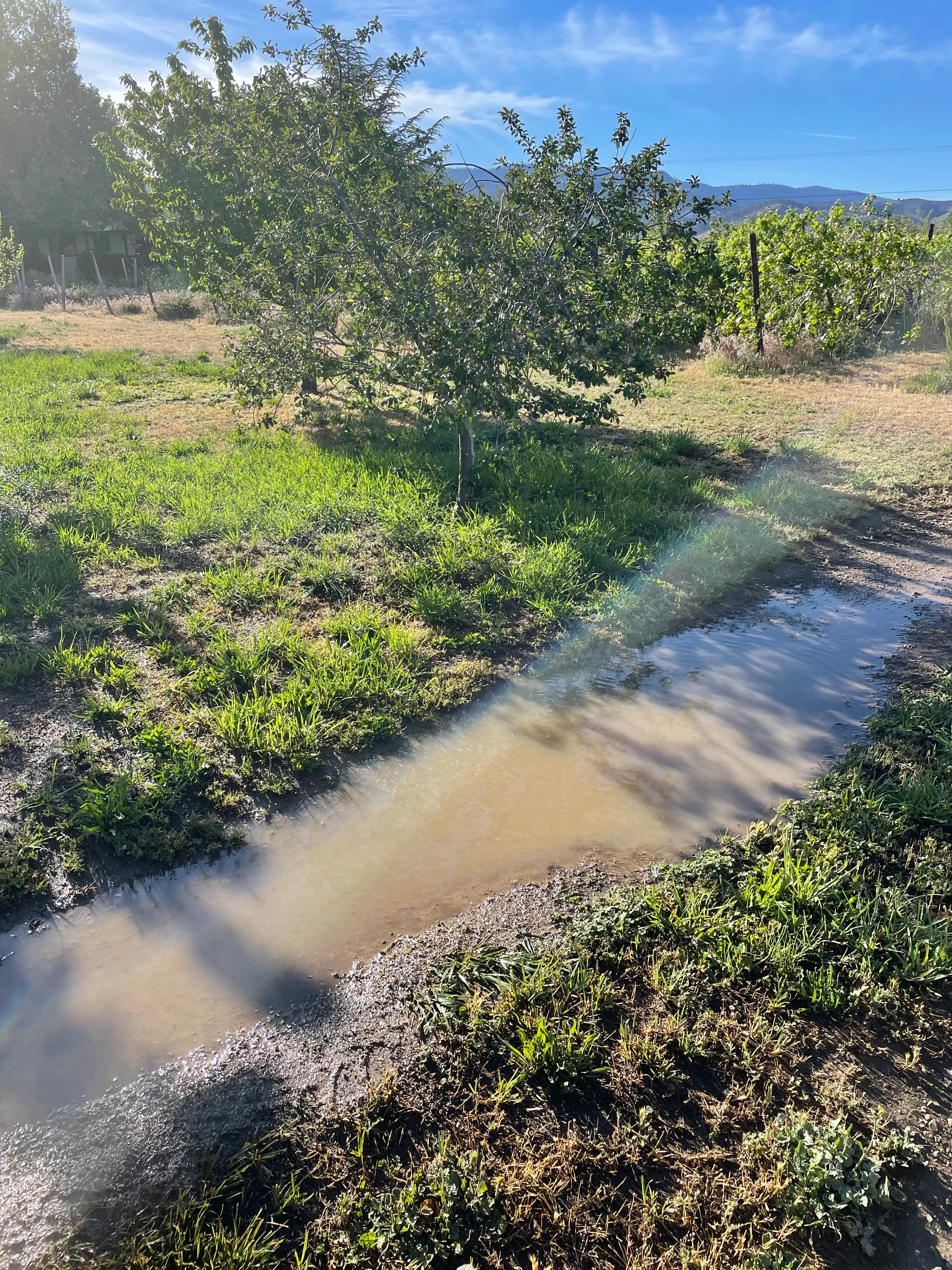
Sprinkler irrigation, gone awry.
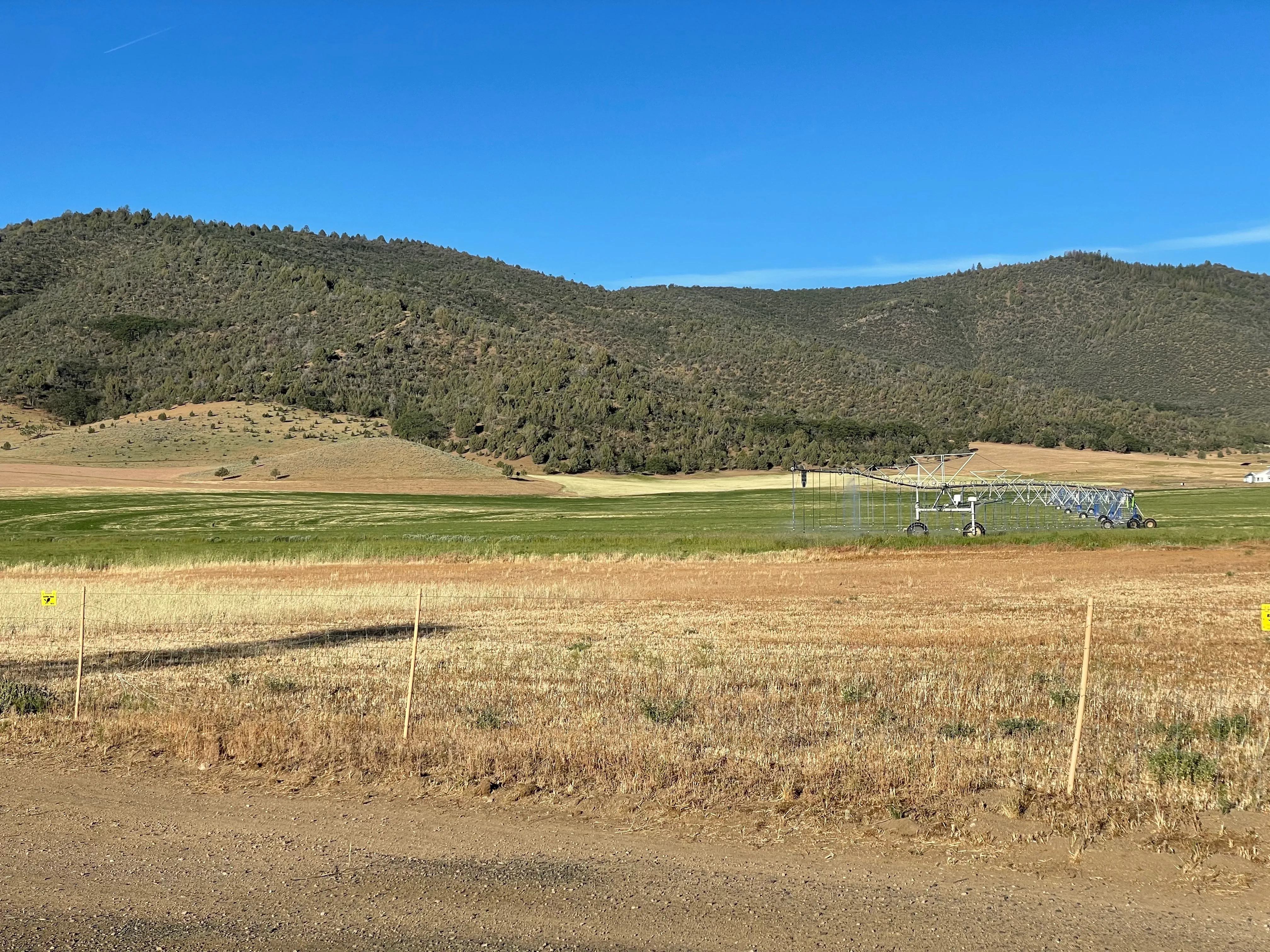
Center-pivot irrigation. Enjoyed showing to A how this looked in satellite.
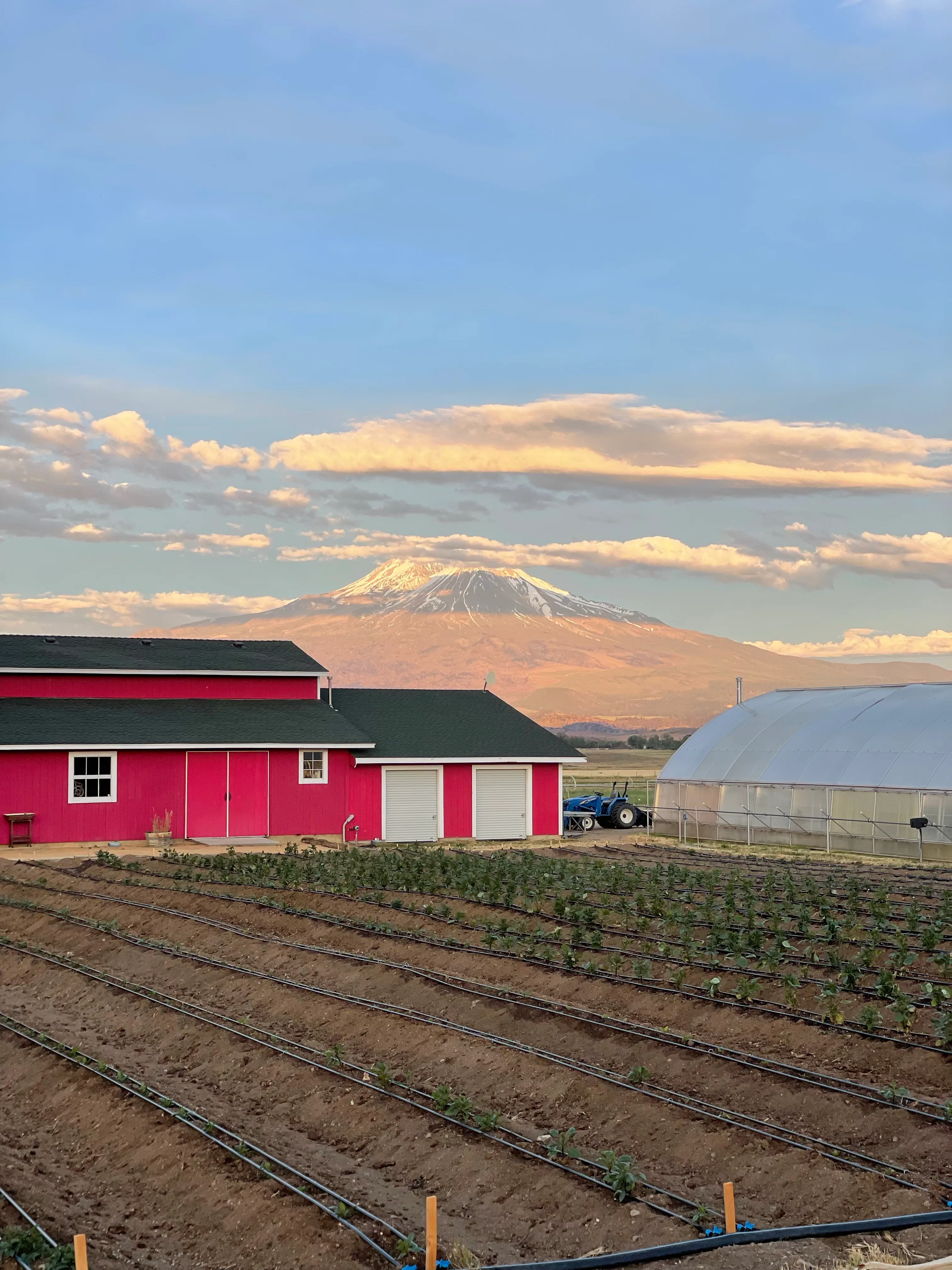
Drip irrigation, with Mt. Shasta.
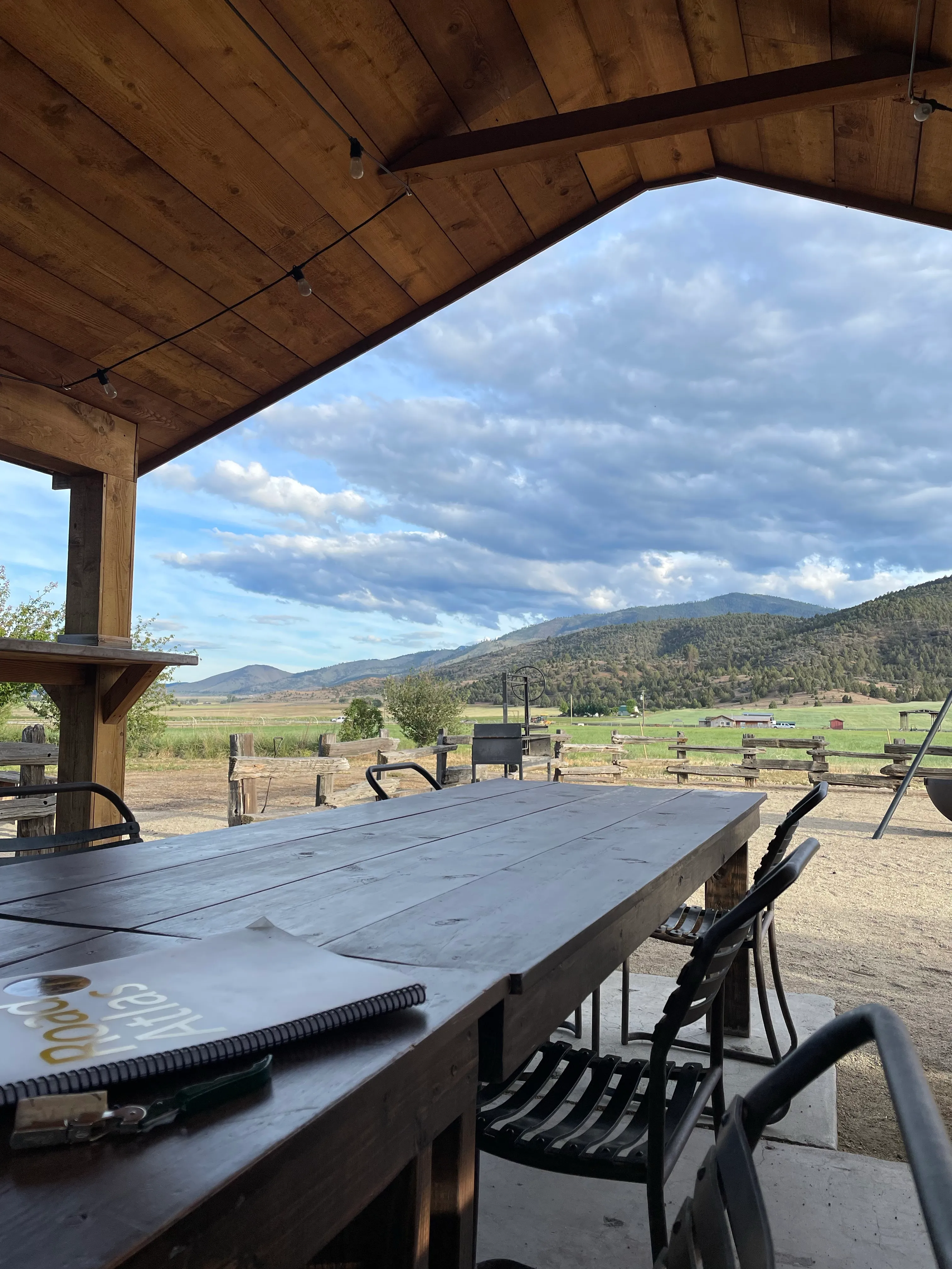
View from vacation dinner. In almost the center (but you’ll have to squint) was a pump that was filling trucks, moving the water to other (nearby?) farms.
Four forms of water usage, one farm.
Quite related, I’ve joined the board of OpenET to help bring open data on evapotranspiration (a key part of the water cycle) to Colorado River water management, and eventually to the whole world. I’ll be advising on both basics like licensing and of course the more complex bits like economic sustainability, where (via Tidelift) my head mostly is these days.
Many thanks to John Fleck (GNOME documentation project, ret.) for dragging my head into this space years ago by writing about it so well for so long.